This image has format transparent PNG with resolution 500x311.
You can download this image in best resolution from this page and use it for design and web design.
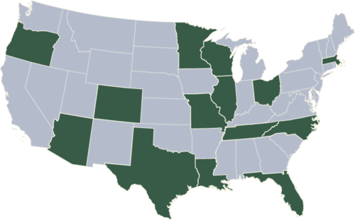
USA map PNG with transparent background you can download for free, just click on download button.
The United States of America (USA), commonly known as the United States (U.S.) or America, is a federal republic composed of 50 states, a federal district, five major self-governing territories, and various possessions. At 3.8 million square miles (9.8 million km2) and with over 325 million people, the United States is the world's third- or fourth-largest country by total area and the third-most populous country. The capital is Washington, D.C., and the largest city by population is New York City. Forty-eight states and the capital's federal district are contiguous and in North America between Canada and Mexico. The state of Alaska is in the northwest corner of North America, bordered by Canada to the east and across the Bering Strait from Russia to the west. The state of Hawaii is an archipelago in the mid-Pacific Ocean. The U.S. territories are scattered about the Pacific Ocean and the Caribbean Sea, stretching across nine official time zones. The extremely diverse geography, climate, and wildlife of the United States make it one of the world's 17 megadiverse countries.
In this page you can download free PNG images: USA map PNG images free download