This image has format transparent PNG with resolution 651x651.
You can download this image in best resolution from this page and use it for design and web design.
Garmin navigator PNG with transparent background you can download for free, just click on download button.
Early product, a handheld GPS receiver, was sold to military personnel serving in Kuwait and Saudi Arabia during the 1991 Gulf War. In the early 2000s Garmin launched a series of personal GPS devices aimed at recreational runners called the Forerunner. The Garmin Foretrex is a similar wrist-worn GPS device with two-dimensional GPS tracking and waypoint projection called .
A Garmin eTrex 30 simultaneously connects to both GPS and GLONASS satellites.
The compact eTrex was introduced in 2000; several models with different features have been released since. The original eTrex, commonly nicknamed "eTrex Yellow", offered a lightweight (5.3 oz/150 g), waterproof, palm-sized 12-channel GPS receiver, along with a battery life of up to 22 hours on two AA-size batteries. It was replaced in 2007 by the eTrex H, which added a high-sensitivity receiver. Other eTrex models include the Summit, Venture, Legend, and Vista, each with various additional features such as WAAS, altimeter, digital compass, city database, and highway maps. Many of these models come in color and expandable-memory versions.
In May 2011 Garmin refreshed the eTrex product line with new mechanical design and support for advances in cartography and hardware technology with its release of the eTrex 10, eTrex 20, and eTrex 30, Garmin became the first company to manufacture and distribute a worldwide consumer navigation product supporting both GPS and GLONASS satellite constellations. On May 13, 2015, Garmin released the eTrex 20x and 30x, which succeeded the eTrex 20 and 30. The main upgrade was a higher resolution screen and 4GB storage, double of the previous models.
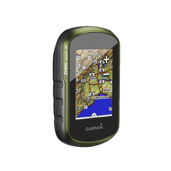
On July 2, 2015, Garmin introduced its eTrex Touch line, releasing three models (25, 35 and 35t), all featuring a 2.6" touch screen. The 35t model designation is not used in Europe, but the European market 35 is essentially the 35t, and both the European 25 and 35 include Garmin TopoActive Europe maps and 8GB of internal storage.
In this page you can download free PNG images: Garmin navigator PNG images free download