This image has format transparent PNG with resolution 600x900.
You can download this image in best resolution from this page and use it for design and web design.
Gps navigator PNG with transparent background you can download for free, just click on download button.
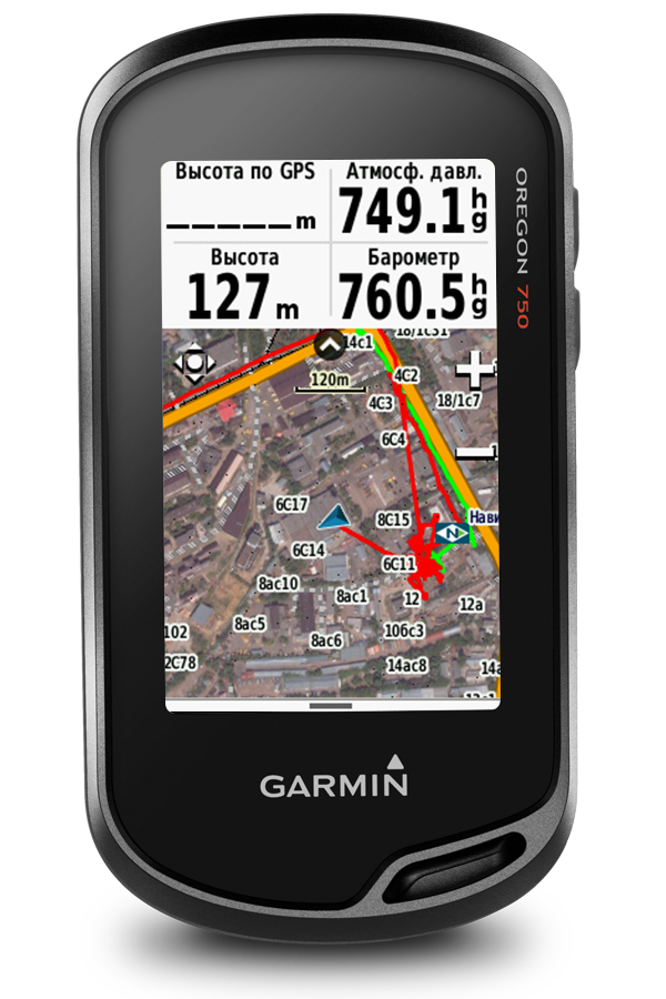
A satellite navigation device, colloquially called a GPS receiver, or simply a GPS, is a device that is capable of receiving information from GNSS satellites and then calculate the device's geographical position. Using suitable software, the device may display the position on a map, and it may offer routing directions. The Global Positioning System (GPS) is one of a handful of global navigation satellite systems (GNSS) made up of a network of a minimum of 24, but currently 30, satellites placed into orbit by the U.S. Department of Defense.
GPS was originally developed for use by the United States military, but in the 1980s, the United States government allowed the system to be used for civilian purposes. Though the GPS satellite data is free and works anywhere in the world, the GPS device and the associated software must be bought or rented.
A satellite navigation device can retrieve (from one or more satellite systems) location and time information in all weather conditions, anywhere on or near the Earth. GPS reception requires an unobstructed line of sight to four or more GPS satellites, and is subject to poor satellite signal conditions. In exceptionally poor signal conditions, for example in urban areas, satellite signals may exhibit multipath propagation where signals bounce off structures, or are weakened by meteorological conditions. Obstructed lines of sight may arise from a tree canopy or inside a structure, such as in a building, garage or tunnel. Today, most standalone GPS receivers are used in automobiles. The GPS capability of smartphones may use assisted GPS (A-GPS) technology, which can use the base station or cell towers to provide a faster Time to First Fix (TTFF), especially when GPS signals are poor or unavailable. However, the mobile network part of the A-GPS technology would not be available when the smartphone is outside the range of the mobile reception network, while the GPS aspect would otherwise continue to be available.
The Russian Global Navigation Satellite System (GLONASS) was developed contemporaneously with GPS, but suffered from incomplete coverage of the globe until the mid-2000s.[3] GLONASS can be added to GPS devices to make more satellites available and enabling positions to be fixed more quickly and accurately, to within 2 meters.
Other satellite navigation services with (intended) global coverage are the European Galileo and the Chinese BeiDou.
In this page you can download free PNG images: Gps navigator PNG images free download